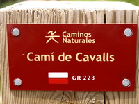
Long Distance Trail GR 223 Camí de Cavalls-Menorca |
|---|


HIKING MAP MENORCA (+ enlarged map-1:25.000- Ciutadella South Coast) (Editorial Alpina, 4. Edition 2022) |
|---|
LAST EDITION- APRIL 2022 |
|
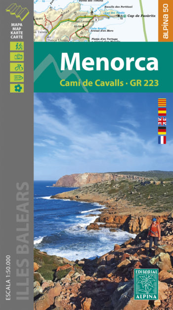 |
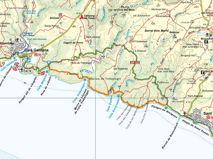
PHOTO GALLERY (Camí de Cavalls) >>>
|
|---|
|
|---|
|
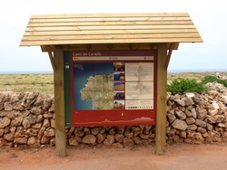
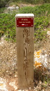
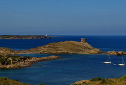
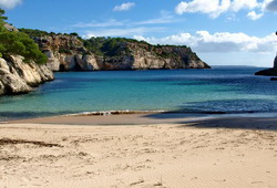
Stages 1/ Maó- Es Grau, 3h 30min/ 10 km/ Grade: Medium 2/ Es Grau- Favàritx, 3h 30min/ 8’6 km/Medium 3/ Favàritx- Arenal d’en Castell, 5 h/ 13’6 km/ Medium 4/ Arenal d’en Castell- Cala Tirant, 4 h / 10’8 km/ Low 5/ Cala Tirant- Binimel·là, 4 h/ 9’6 km/ Medium 6/ Binimel·là- Els Alocs, 5 h/ 8’9 km/ High 7/ Els Alocs- Algaiarens, 4h 30min/ 9’7 km/ Medium 8/ Algaiarens- Cala Morell, 2h 10min/ 5’4 km/ Medium 9/ Cala Morell- Punta Nati, 3 h/ 7 km/ Low 10/ Punta Nati- Ciutadella, 4 h/ 10’5 km/ Low 11/ Ciutadella- Punta d’Artrutx, 5 h/ 13’2 km/ Low 12/ Punta d’Artrutx- Cala en Turqueta, 5 h / 13’3 km/ Medium 13/ Cala en Turqueta- Cala Galdana, 2h 30min/6’4 km/ Low 14/ Cala Galdana- Sant Tomàs, 4h 30min/ 10’8 km/ Medium 15/ Sant Tomàs- Son Bou, 2h 30min/ 6’4 km/ Low 16/ Son Bou- Cala en Porter, 3h 30min/ 8 km/ Medium 17/ Cala en Porter- Binisafúller, 4h 30min/ 11’8 km/ Low 18/ Binisafúller- Punta Prima, 3h 30min/ 8’1 km/ Low 19/ Punta Prima- Cala de Sant Esteve, 2h 40min/ 7’3 km/ Low 20/ Cala de Sant Esteve- Maó, 2h 20min/ 6 km/ Low |
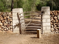
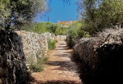
For the ‘Menorquins’, the Camí de Cavalls is much more than a walkway because it belongs to their collective heritage. The origins of this old coastal path are unknown but it should have been built around the 16th century in order to defend the island against pirates raids. Since 1996 and after some demonstrations on its behalf, the government enacted a law and outlined a plan which resulted in the reopening of this important ethnological and historical heritage route. In 2010, the 185 km footpath had already been cleared and signposted in order that locals and visitors could enjoy it on foot, by bike or on horseback. Watch the video of a demonstration for the Camí de Cavalls>>>>>
|
|---|